
PAGASA Monitoring Tropical Storm Mawar that Could Develop into Super Typhoon
Key Highlights :
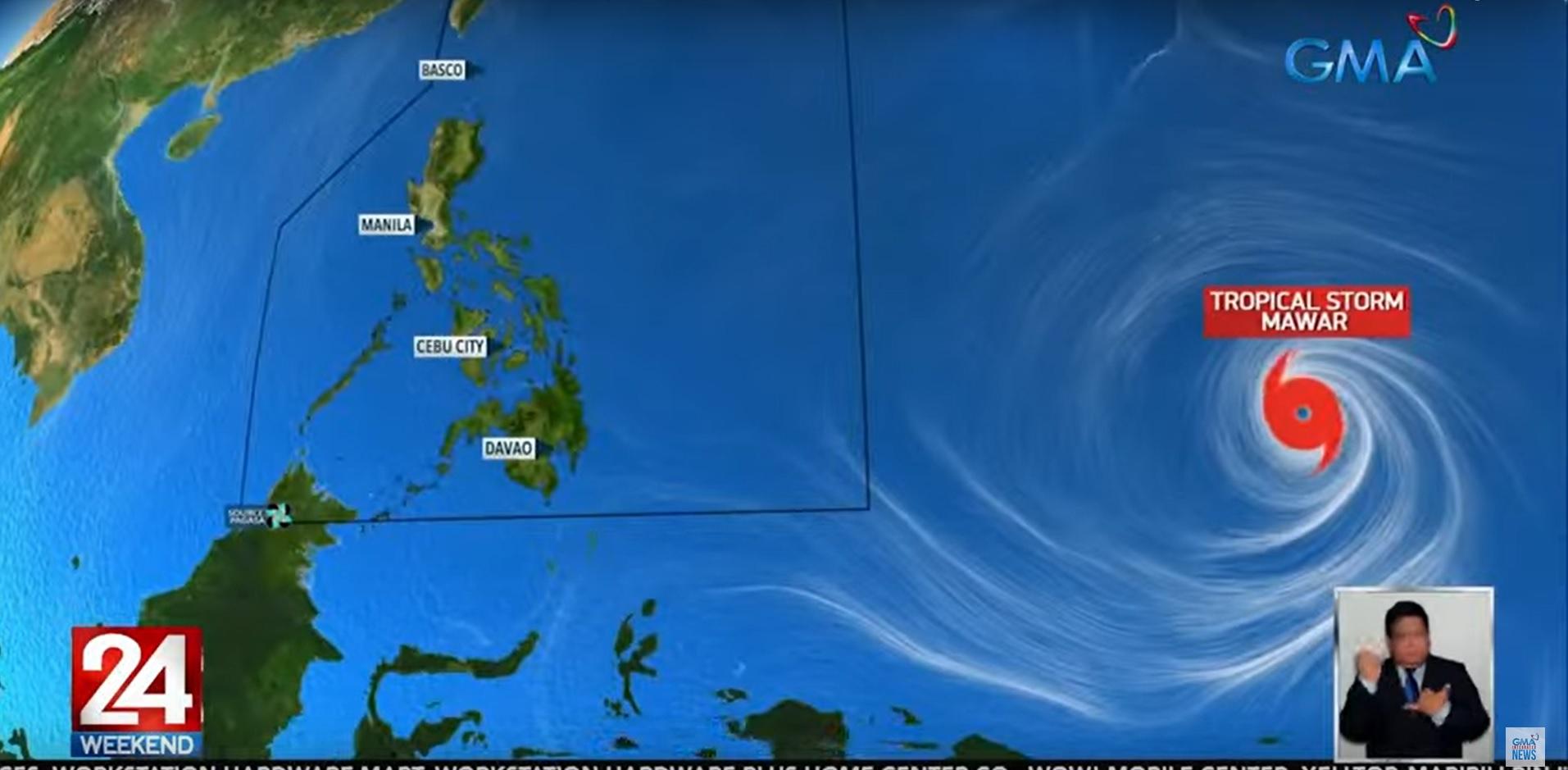
The Philippine Atmospheric, Geophysical and Astronomical Services Administration (PAGASA) is keeping a close eye on a tropical storm over the Pacific Ocean that could enter the country's area of responsibility later this week and possibly develop into a super typhoon.
The tropical storm, which has the international name Mawar and will be called Betty should it enter the Philippine Area of Responsibility (PAR) by Friday or Saturday, is being monitored closely by PAGASA. According to PAGASA Assistant Weather Chief Chris Perez, favorable environmental conditions – both the oceanic and atmospheric – may cause the tropical storm to strengthen.
Should it continue on its current trajectory, the tropical storm could hit the northeastern part of the country and strengthen the southeast wind flow moving forward. The El Niño phenomenon is said to be one of the main causes of stronger typhoons, and the country has experienced at least 15 typhoons in the past years. In 2015, the country recorded 15 typhoons during the storm season, 14 in 2016 when the country recorded a strong El Niño, and 11 in 2010 when a moderate El Niño was recorded.
Perez also noted that should a super typhoon be monitored, there is a tendency that it won't make landfall over the country. To prepare for the tropical storm, PAGASA is urging the public to be on alert and to take the necessary precautionary measures.
The agency is also reminding the public to stay up to date with the latest weather updates and advisories, and to take the necessary measures to ensure their safety. With the tropical storm potentially developing into a super typhoon, the public is advised to take all necessary precautions and to be ready for any eventuality.
